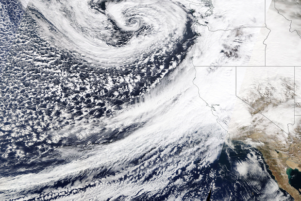
El Niño refers to the large-scale ocean-atmosphere climate phenomenon linked to a periodic warming in sea-surface temperatures across the central and east-central equatorial Pacific (between approximately the date line and 120oW). NOAA's Climate Prediction Center declares the onset of an El Niño episode when the 3-month average sea-surface temperature departure exceeds 0.5oC in the east-central equatorial Pacific [between 5oN–5oS and 170oW–120oW].
Expert Assessments

Monthly Diagnostics Discussion (2nd Thursday) provides the official ENSO status and forecast and Weekly ENSO updates (Monday mornings) goes over the latest recent evolution.
ENSO Outlook
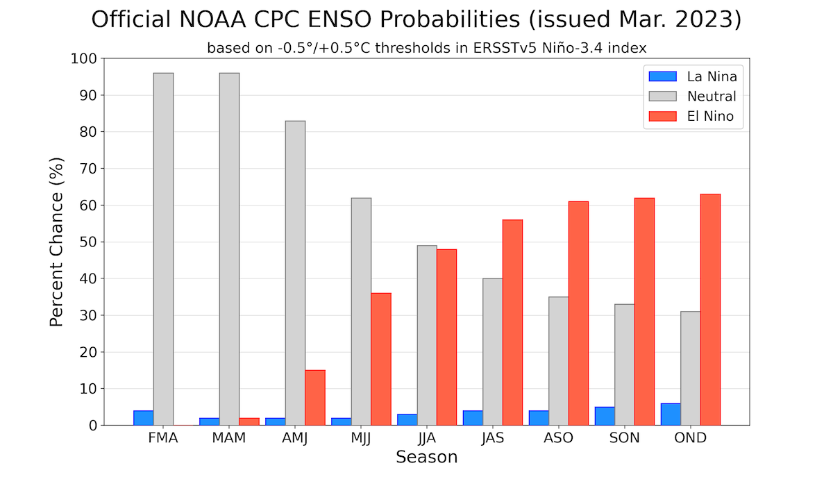
Official probabilistic forecasts for ENSO in the upcoming seasons and the objective model guidance for the Nino-3.4 index region.
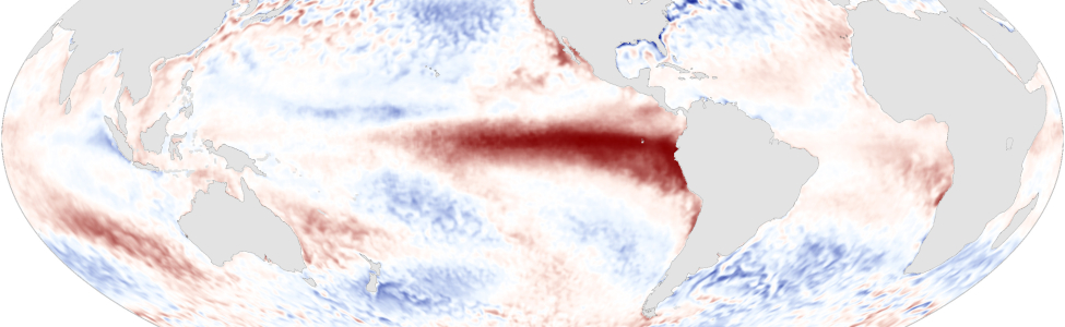
ENSO Current Conditions
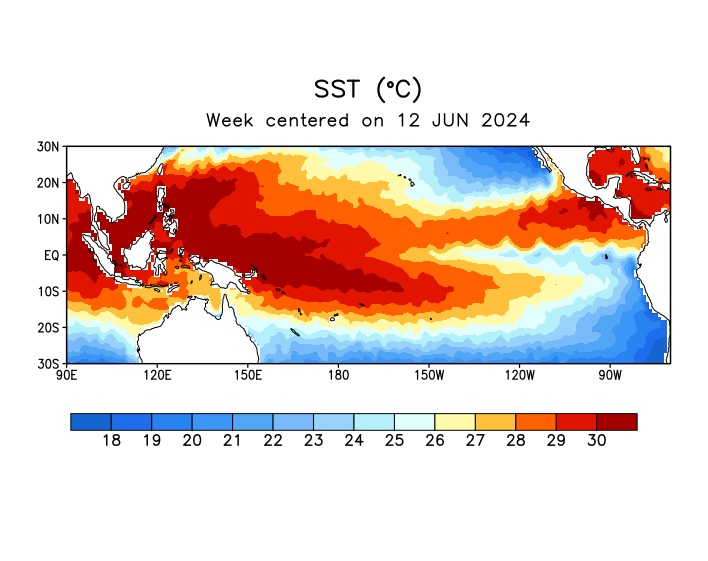
Current atmospheric and oceanic conditions across the tropical Pacific Ocean.